


Cruising Through South Carolina's Blue Ridge Foothills
A springtime drive through this Southern beauty calls for a relaxed pace.
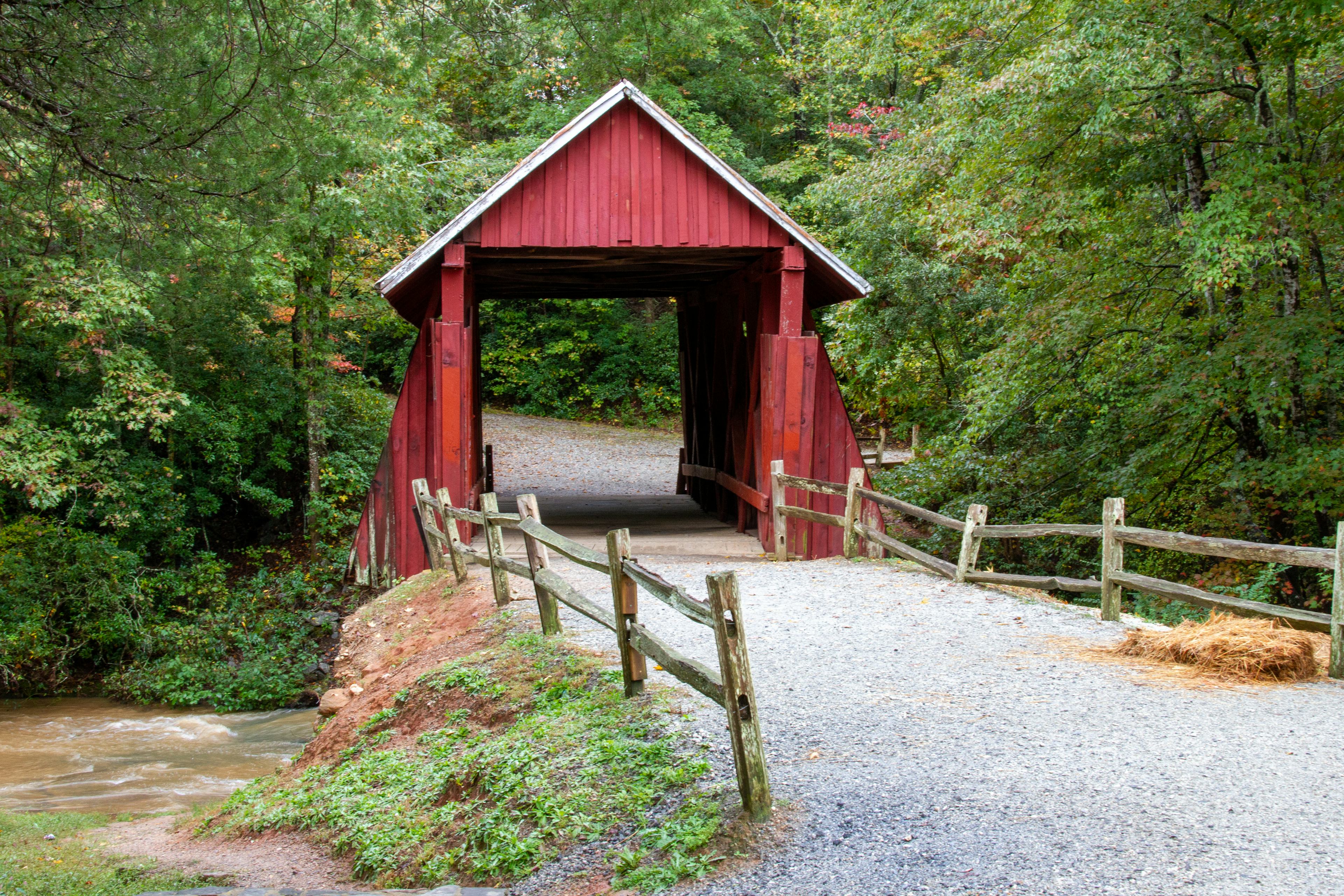
Campbell's Covered Bridge is a 4-mile detour off the byway. | Getty Images
ON A MAP, SOUTH CAROLINA'S State Highway 11 arches like an eyebrow above the conduit of Interstate 85, a 119-mile detour skirting the edge of the Blue Ridge Mountains. Once, this meandering route was the main one, part of a trail network linking Cherokee villages and guiding colonial fur traders from Charleston to the Appalachian frontier. Folks called it the Cherokee Path then. Today, it’s the Cherokee Foothills Scenic Byway, and it begs to be driven slowly, the better to take in the historical markers and leafy luster of what South Carolinians call the Upcountry.
Heading west from Gaffney, the road winds past farms and orchards. In spring, the peach trees bloom pink and the apple trees white, and the roadside produce stands are filled with fresh-picked strawberries. At Cowpens National Battlefield in 1781, a company of Continental soldiers and backwoods militiamen picked a bucolic pasture to make a stand against the redcoats pursuing them. The British were routed, and the battle—now evoked along an interpretive trail weaving past stately oaks and stands of native cane—turned the tide of the Revolutionary War in the South.
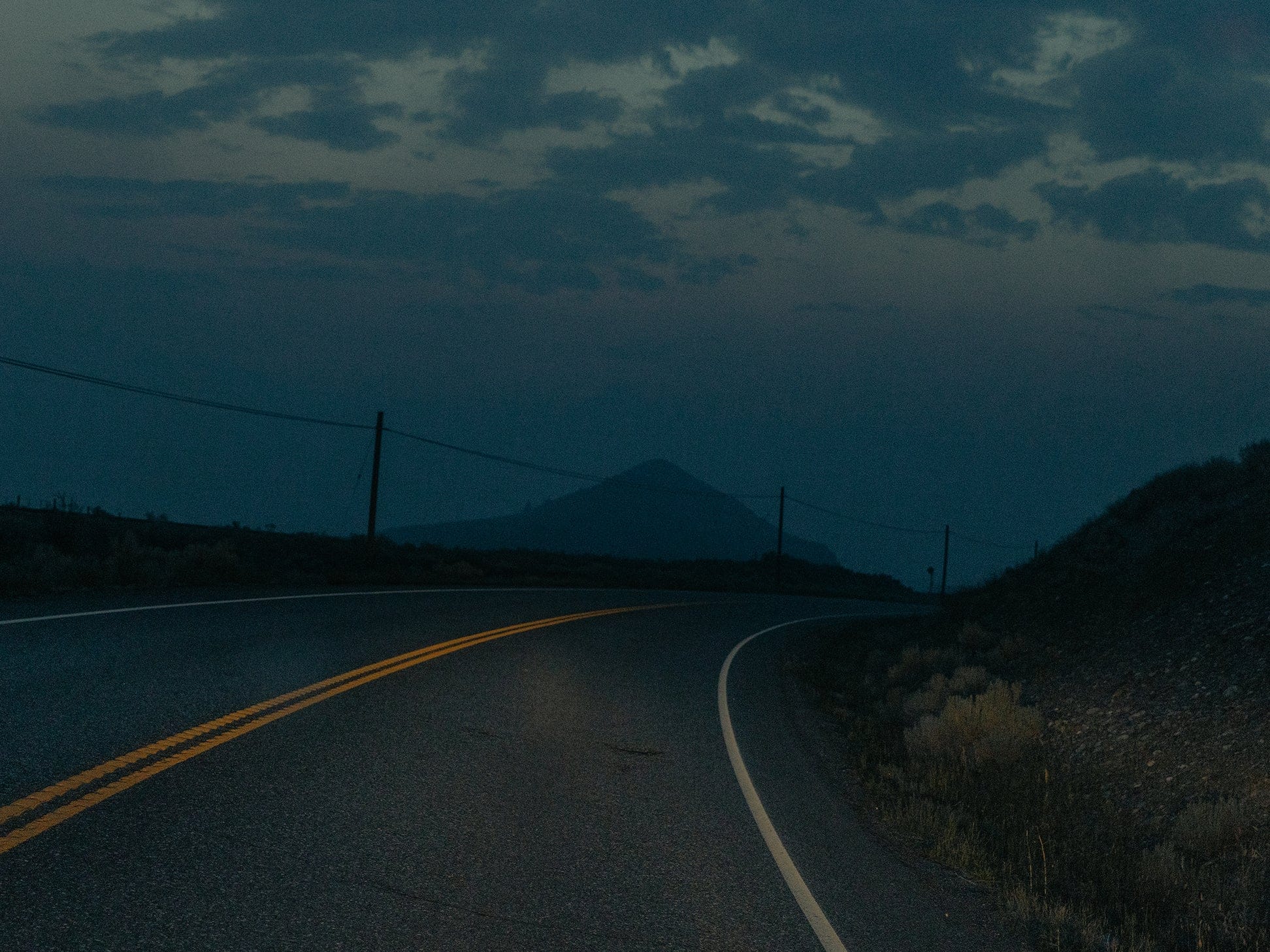
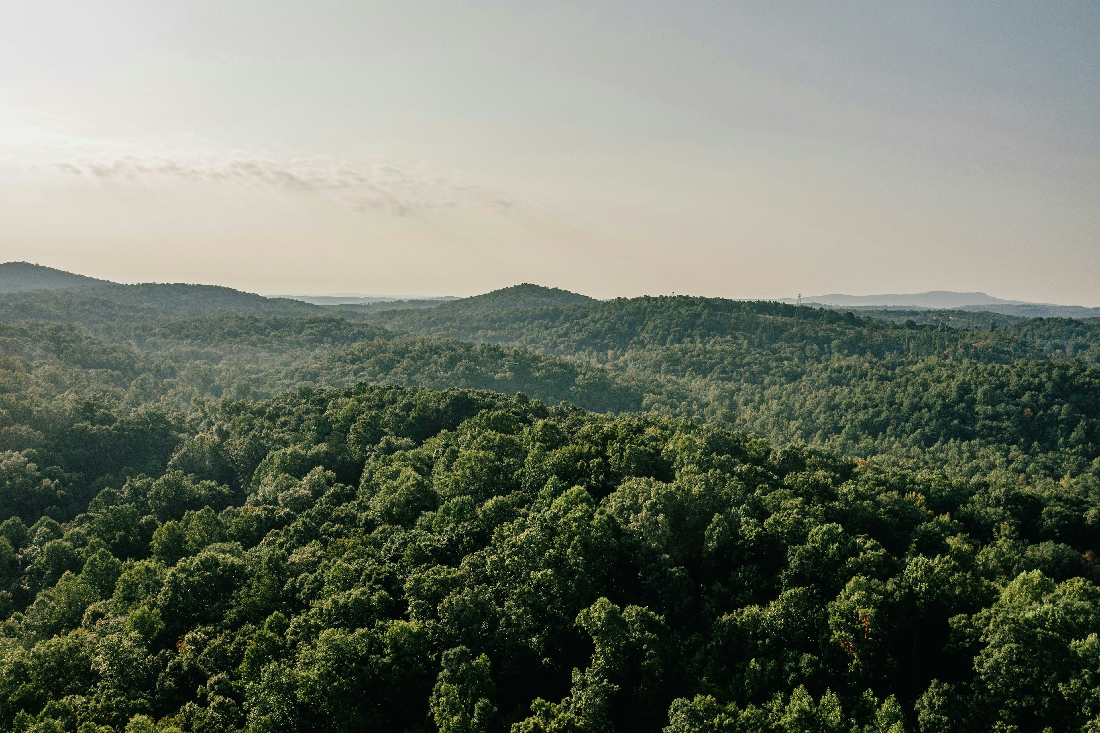
Highway 11 climbs gently into the hill country, its two lanes sometimes twisting around steep drop-offs, taking in mountainsides cloaked in mixed woods. The azaleas, dogwoods and magnolias are dazzling this time of year. In the fall, the hemlocks, pines, hickories and oaks turn stunning shades of crimson and gold. Fog hugs the soft ridgelines in the mornings, and in the lead-up to sunset horizontal light sets them aglow.
Don't Miss
➀
Gaffney's PEACHOID is a 135-foot selfie-friendly novelty water tower in the likeness of the locally beloved stone fruit.
➁
The 115-year-old shingle-topped CAMPBELL'S COVERED BRIDGE is the last of its kind in South Carolina.
➂
Some 130 species of native wildflowers bloom at the Nature Conservancy's NINE TIMES PRESERVE.
➃
Don't skip the 14-hour brisket or pecan-topped sweet potato casserole at THE SPOTTED PIG BBQ in Fair Play.
Trailheads speckle the route’s western reaches, with hike after hike leading to waterfalls that trip down river rock worn smooth. Just beyond roadside Wildcat Falls, the sheer granite face of Table Rock looms over the road. An interpretive marker recognizes the Cherokee people, most of whom were forcibly uprooted from these mountains in the 18th and 19th centuries, and describes a traditional belief in the flat-topped peak as a dining place for a giant. Trails in Table Rock State Park reach the 3,127-foot summit. Farther down Highway 11, in Walhalla, materials at the Museum of the Cherokee in South Carolina explore Indigenous people’s connection, past and present, to the Blue Ridge Mountains. (Today, state government recognizes a federation called the Southern Cherokee, Eastern Iroquois and United Tribes of South Carolina.)
The byway ends at Lake Hartwell State Park, a 56,000-acre reservoir on the state line with Georgia. Get a campsite. Grab a fishing rod or rent a kayak. Explore hundreds of miles of Upcountry shoreline. Rejoining the interstate can wait.


