


Camping at Oregon Inlet.
A ramble through North Carolina's beachfront never strays far from the sand.
The barrier islands of North Carolina’s Outer Banks stretch out long and lean between the Atlantic and two giant lagoons, the Albemarle and Pamlico Sounds. Technically, the islands are sandbars, so slender that it’s a wonder they’re habitable. Not surprising, then, that these spits of land are of secondary interest to so many visitors, for whom an OBX trip tends to revolve around swimming, paddling, fishing, kiteboarding and the myriad other ways of being on, in or around the water.
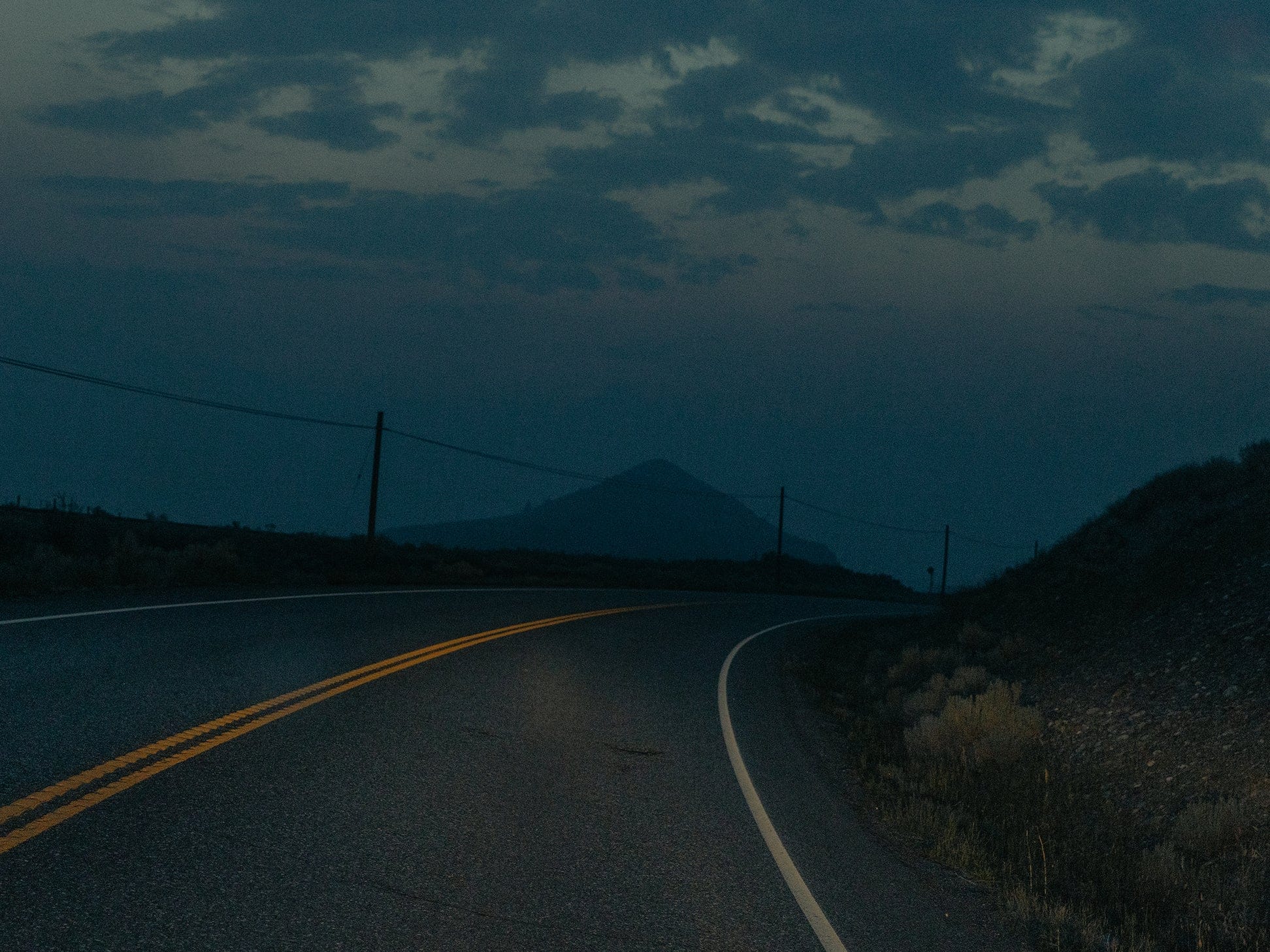
Two-lane state highway 12 transects the Outer Banks like an asphalt spine, running through villages with names that evoke the Algonquin of their original inhabitants: Currituck, Hatteras, Ocracoke. Following the 148-mile route makes for a breezy, navigation-free road trip, full of salt- crinkled hair and sandy feet, sunset cocktails and seafood dinners, ferry rides and oceanside campsites under the stars.

CAROVA BEACH -> KITTY HAWK
MILES: 34
COFFEE: DUCK'S COTTAGE COFFEE & BOOKS, DUCK
TOUR GUIDE: BACK BEACH WILD HORSE TOURS, COROLLA
HAPPY HOUR: COROLLA BEER GARDEN, COROLLA
The resort areas of Duck and Corolla have a more polished (read: moneyed) vibe than the lower Outer Banks. The beaches are beautiful and uncrowded (though closed to the public in Duck), and pockets of unspoiled charm include the Audubon Pine Island Sanctuary and Currituck Banks Estuarine Reserve. A trip here is out and back—the peninsula connects to Sandbridge, Virginia, but the way is gated to contain the wild Banker horses that have been on the land for half a century (don’t feed them!).
Carova Beach. North of Corolla, N.C., 12 turns to sand. The 10-mile beach road (still technically part of the state highway) has world’s-end vibes, the domain of 4x4s and wild horses, surfcasters and solitude seekers.
Currituck Beach Lighthouse, Corolla. The 220 steps that lead to the top of this Victorian-era brick beacon aren’t easy on the quads. But that view!
Coastal Explorations, Corolla. Sunset kayaking tours are classic, but this outfitter’s sunrise tours on Currituck Sound are next level, out there with the ospreys, herons and pelicans on dawn patrol.
Duck Village Boardwalk. On the peninsula’s placid western edge (“soundside,” as OBXers say), it leads to dozens of worthy restaurants and shops. Duck Town Park has concerts and outdoor movies throughout the summer.
Cruising wildflower-lined State Route 39, keep heading west, following the Guadalupe upstream. At the Hunt Store, built from timber beams and river stones in 1946, the cafe drops hungry-traveler gut bombs like the triple-decker Clint Burger (with bacon, ham, and sausage) and mammoth chicken- fried steaks. Things get lively when bands take to the patio stage out back.

Road Intel
PERMITS
Get beach-driving permits online from
Cape Hatteras National Seashore and Currituck County ($50 for 10 days). Without four-wheel-drive, you'll likely end up on the Carova Beach Idiots Facebook page.
FERRIES
North Carolina ferries (find schedules at ncferry.org) accommo- date RVs of any highway- legal size. Vehicles or car/ trailer combos up to 40 feet pay $30 (though the Ocracoke-Hatteras ferry is free).
DETOUR
Veer west off N.C. 12 at Whalebone Junction in Nags Head to hit up Roa- noke Island, which hosted the first attempts at New World English settlement between 1584 and 1587.
RENTAL RIDE
In Kill Devil Hills, Outer Banks Jeep Rentals rents Wranglers for beach-driving.
BEYOND THE BANKS
From Ocracoke, the Cedar Island Ferry shuttles across Pamlico Sound to rejoin the mainland, where N.C. 12 weaves through the Cedar Island National Wildlife Refuge, a birding hotspot.
KITTY HAWK → OREGON INLET
MILES: 23
LOCAL SUDS: SWELLS'A BREWING, KILL DEVIL HILLS
FROZEN TREATS: SURFIN' SPOON, NAGS HEAD
AERO OUTFITTERS: KITTY HAWK KITES, KILL DEVIL HILLS
The towns of Kitty Hawk, Kill Devil Hills and Nags Head stay busy in summer— occasionally, they can feel a little oveerrun. But the beaches are the draw, with nearly 100 spots to access them (and free parking). Two routes traverse all three towns: U.S. 158 (“the Bypass”) and N.C. 12 (“the Beach Road"). Stick to the Beach Road for that summer-in- a-small-town feeling.
Wright Brothers National Memorial, Kill Devil Hills. Whose heart doesn’t soar a little while looking out at the water and reading this inscription? “Conceived by genius. Achieved by dauntless resolution and unconquerable faith.”
Jockey’s Ridge State Park, Kill Devil Hills. Home to the Atlantic Coast’s tallest sand dunes, including some as high as 100 feet (watch out for hang gliders).
Basnight’s Lone Cedar Café, Nags Head. Committed to serving only wild-caught local fish, shrimp, oysters and crab.
Oregon Inlet Campground, Cape Hatteras National Seashore. Steps from the beach and far from the north-end bustle, find 107 sites within earshot of the crashing waves— 47 with water and electric hookups. At the adjacent fishing center, guides abound: hit the Gulf Stream for tuna, book a half-day inshore charter for drum, or hop a head boat with the grandkids for flounder.

OREGON INLET → OCRACOKE
MILES: 72
BOOKSTORE: BUXTON VILLAGE BOOKS, BUXTON
TACOS: EDUARDO'S TACOS, OCRACOKE
LOCAL STATION: OCRACOKE COMMUNITY RADIO 90.1 FM
For the most part, Hatteras and Ocracoke Islands—50 and 16 miles long, respectively— are wild and pristine. Both are cedar-studded outdoor playgrounds, with close to 20 campgrounds between bridge-connected Hatteras and ferry-accessed Ocracoke—from mom-and-pops to a KOA to sites in Cape Hatteras National Seashore.
Chicamacomico Life-Saving Station, Rodanthe. They call the Outer Banks’ shoals “the graveyard of the Atlantic.” From 1874 to 1915, crews at this striking wooden station saved many a shipwrecked seaman. See how during drill reenactments on Thursdays in summer.


Orange Blossom Bakery, Buxton. The huge, sugar-glazed fritters called Apple Uglies always sell out first, but the sticky buns, donuts, biscuits and breakfast burritos are just as wow.
Cape Point, Hatteras Island. Off-road vehicles line the ever-shifting sands at the eastern tip of the island, one of the East Coast's most popular surf-fishing spots.
Springer’s Point Preserve, Ocracoke. Beneath a cool canopy of ancient live oaks, hiking trails reach a soundside beach at Teach’s Hole, where the dread pirate Blackbeard (Edward Teach) met his fate at the hands of the British Navy in 1718.

Read more like this


